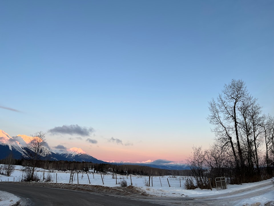
The latest provincial snowpack figures show The Skeena-Nass snow basin's levels are well below normal.
The data, from the province鈥檚 Ministry of Water, Land and Resource Stewardship, was released on Feb. 11.
The regional level is at 67 per cent of normal for February 1, down from 73 per cent on January 1.
"It did look like your region was going to have a little bit of a bump up, just because it was one of the few locations that actually had storms in the first little bit of January," said hydrologist with the BC River Forecast Centre Jonathan Boyd.
"But obviously we've had some really dry conditions since mid-January onwards, and the levels did lower a little bit compared to January 1, and really matching very similarly to what we had last year. Last year for February 1, it was 69 per cent, so it's just slightly lower than last year, and not to say that the drought really did continue through the winter like it has in previous years. There was enough precipitation and rain that occurred in September and October, early October, from some heavy storms."
He added the current snow pack reduces flood risk in May and June but increases the risk of drought and wildfires later in the summer.
Provincially, the snowpack was 72 per cent of normal. This is a decline from the Jan. 1 level, which averaged 87 per cent of normal across B.C.
