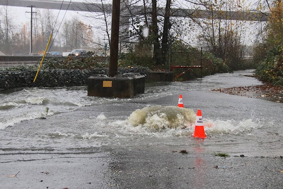
Environment Canada has issued a red alert for the first time, with three atmospheric river events forecast for the weekend into next week.
Areas like Abbotsford saw flooding due to heavy rainfall events last week, and in a technical briefing this afternoon, Nov. 26, Armel Castellan, Environment Canada meteorologist, said B.C. residents should brace for more.
‚ÄúWe had one atmospheric river yesterday,‚ÄĚ said Castellan. ‚ÄúIt brought between 40 and 6o millimetres, even more in the Howe Sound region and it has saturated the soils ‚Ķ what is forecast for this weekend, will be storm No. 2, and again for next week, Tuesday and Wednesday, will be storm No. 3-in-a-row. These are coming back-to-back-to-back with very little time in between.‚ÄĚ
Environment Canada has issued rainfall warnings and special weather statements for areas across the province.
Metro Vancouver, Central and North Shores, Fraser Valley, Howe Sound, Squamish to Whistler and Sunshine Coast could see 60 mm of precipitation in southern sections and 120 mm near the mountains from midday Saturday till Sunday evening.
Hope to Merritt could see 40-60 mm from Saturday afternoon to Sunday overnight.
Eastern Vancouver Island could see 50-70 mm from Saturday morning to Sunday morning.
Western Vancouver Island could see the most with 100-130 mm from Saturday morning to Sunday afternoon.
There also has been significant snowfall in some areas, said Castellan, which could compound the situation. The B.C. River Forecast Centre has also issued high streamflow advisories along much of the coast and a flood warning on the Sumas River, Castellan said.
Castellan also said areas of the province have seen ‚Äúthe wettest fall on record‚ÄĚ including, Victoria, Abbotsford and Vancouver.
An atmospheric river ‚Äútaps into subtropical moisture and brings it all the way to the West Coast of Canada,‚ÄĚ said Castellan. They can be very strong, much like the events that took place Nov. 13-15, he said.
RELATED:
Like us on and follow us on .


